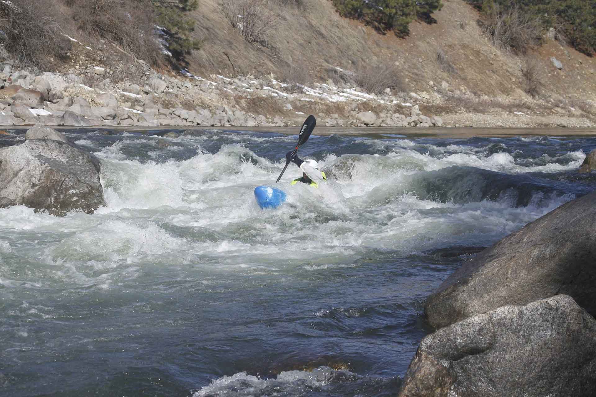
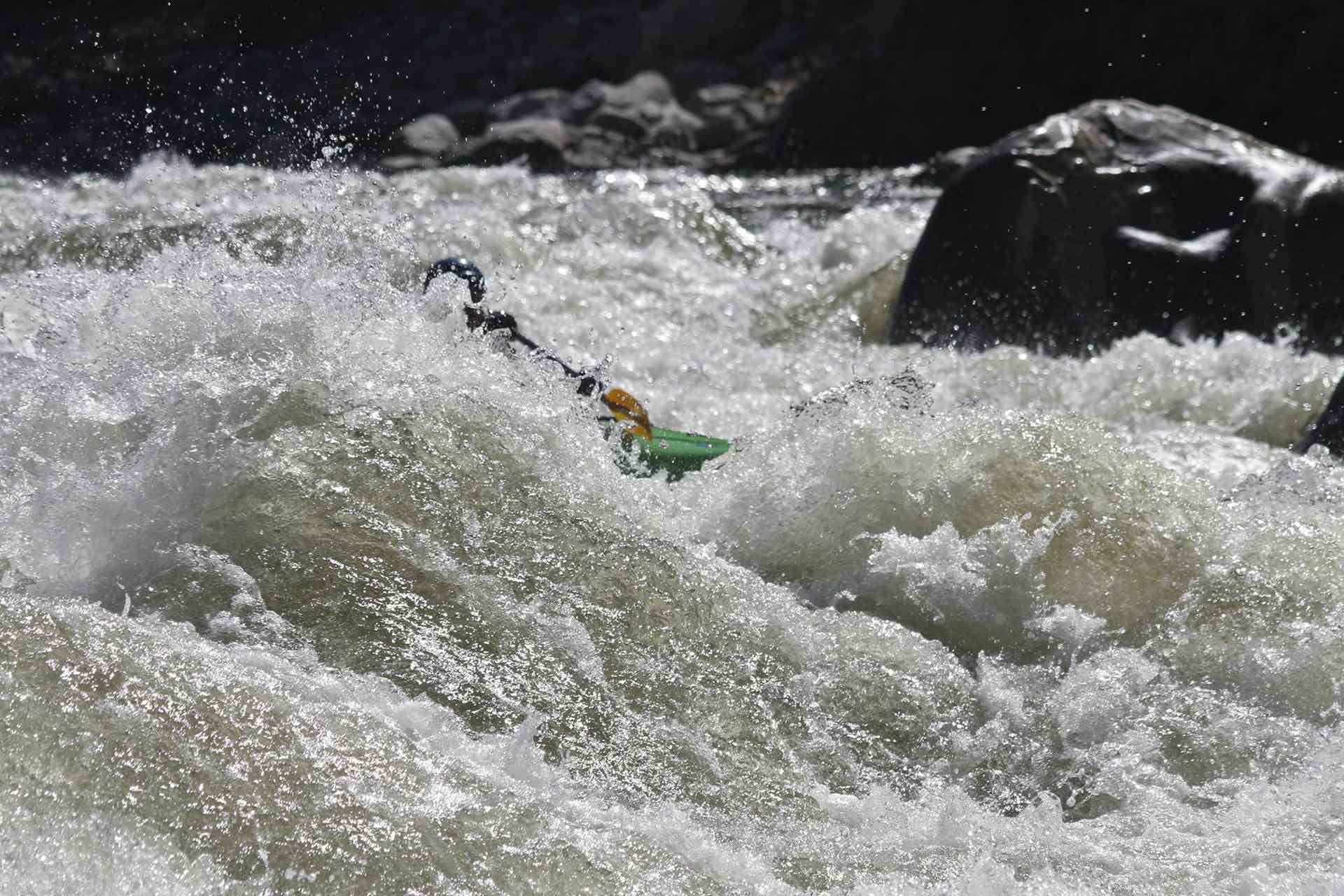
In the beginning, humans invented tools and rope. Before the wheel, they had lashed logs together to navigate rivers.
Shortly after, language was invented and people started keeping diaries about their experiences on the river. As they traveled to distant lands, they began to seek information about the bouyancy of local logs, the availability of rope, and of course what rivers were available to run.
For the motley bunch of random folks collectively known as 'Dirtbags', Paddle Labs is the 21st century place to log rivers and find information.
Built by river runners for river runners, Paddle Labs seeks to upgrade your river beta by:
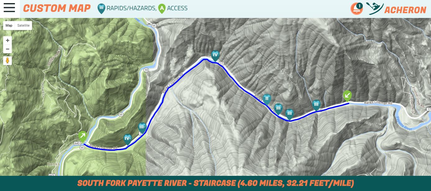
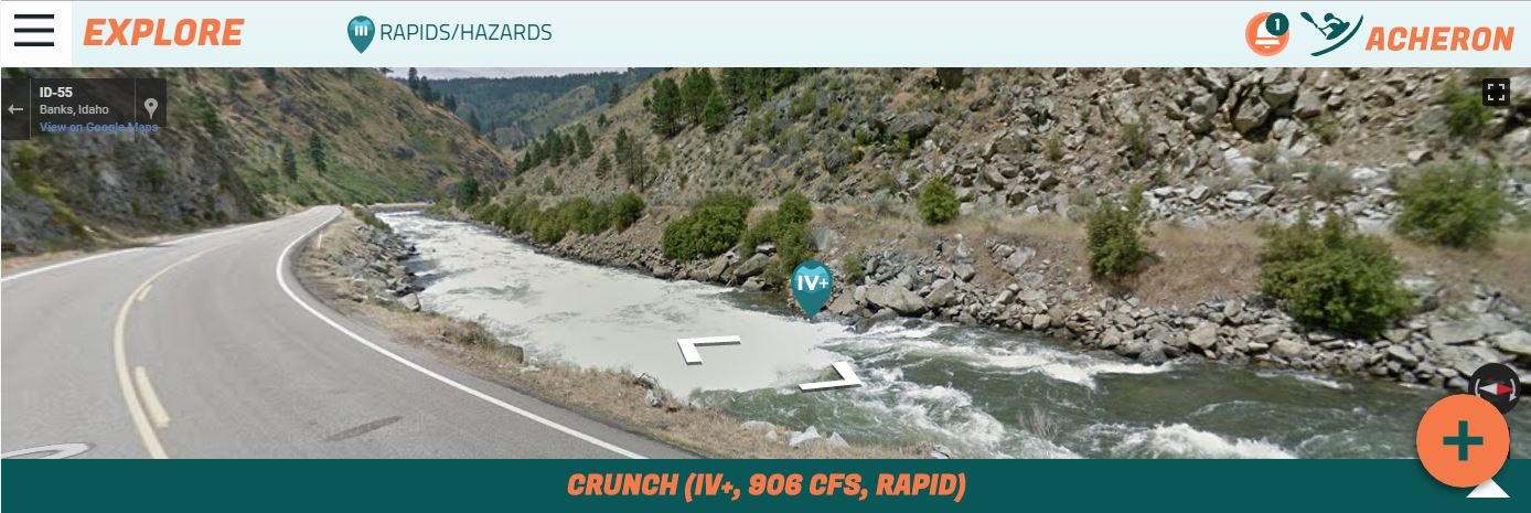
Built by aspiring dirtbags and a kick ass web designer, Paddle Labs is designed to be a paradigm shift in the way that river information is collected and consumed. Traditionally information follows the 'book model' where each run is described, classified, and cataloged. “Run the river from here to there, normally a class blah.” Might have some vague descriptions of where the rapids are or a picture or two.
We may not run the river from here to there. What if we put in somewhere else? How does the flow affect the classification? Has this been run before? Add to that the unstoppable forces of Mother Earth that are constantly making adjustments to every rock, tree, and sand bar and we need a way of accessing information that helps us make better decisions about what to run and when.
Real time river gauges got us some of the way there, Paddle Labs takes us the rest of the way.